

DGPS Survey company In Tenali, Andhra Pradesh |To achieve high-precision location data for mapping,geospatial analysis.
What is a DGPS Survey?
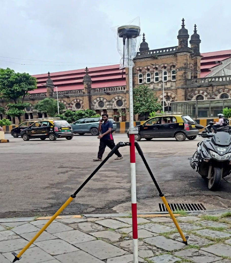
A DGPS survey refers to land surveying or geospatial data collection using Differential Global Positioning System (DGPS) technology. DGPS is an enhanced version of the standard Global Positioning System (GPS) that significantly improves location accuracy by correcting errors in satellite signals, such as those caused by atmospheric interference, satellite clock inaccuracies, or signal multipath. While standard GPS offers positional accuracy of about 15 meters (49 feet), DGPS can achieve precision down to 1–3 centimeters (0.4–1.2 inches), making it ideal for professional applications requiring high reliability.
Key Objectives of DGPS Survey
• Enhanced Accuracy: DGPS corrects errors in standard GPS signals, reducing positional inaccuracies from 5–10 meters down to a few centimeters.
• Reliable Data Collection: It ensures consistent and dependable geospatial measurements, which are crucial for engineering and infrastructure projects.
• Efficiency in Surveying: DGPS speeds up the surveying process compared to traditional methods, saving time and labor.
• Cost-Effectiveness: By improving accuracy and reducing rework, DGPS surveys help lower overall project costs.
• Wide Applications:
• Land development and construction
• Road and bridge planning
• Agricultural mapping
• Environmental monitoring
• Military and defense navigation
DGPS Survey Methodology
1. Establish Base Station:
• A GPS receiver is placed at a known, fixed location.
• This base station calculates the error between its known position and the GPS-derived position.
2. Broadcast Correction Signals:
• The base station transmits correction data to nearby mobile GPS receivers (called rovers).
• These corrections account for satellite signal errors due to atmospheric conditions, clock drift, and other factors.
3. Rover Receivers Apply Corrections:
• Rovers receive both GPS signals and correction data from the base station.
• They adjust their position calculations in real time, achieving centimeter-level accuracy.
4. Data Logging and Mapping:
• Surveyors collect corrected location data at various points.
• The data is stored in formats like KML, shapefiles, or CAD-compatible files for mapping and analysis.
DGPS Survey company In Tenali, Andhra Pradesh |To achieve high-precision location data for mapping,geospatial analysis.
DGPS Survey company In Tenali, Andhra Pradesh.To achieve high-precision location data for mapping,geospatial analysis. Topographic survey, Land surveyor, Contour mapping, Elevation data, GIS mapping, Site analysis, Terrain modeling, Geospatial data, Boundary survey, Construction layout, Digital elevation model (DEM), Surveying equipment, Drone topography, AutoCAD Civil 3D, Total station survey
DGPS Survey company In Tenali, Andhra Pradesh.To achieve high-precision location data for mapping,geospatial analysis.|Establish Base Station,Broadcast Correction Signals,Rover Receivers Apply Corrections,- Data Logging and Mapping
Applications of DGPS Surveys
DGPS is essential where precision matters. Key uses include:
Land Surveying and Mapping: Cadastral surveys, property boundaries, and urban planning.
Infrastructure Projects: Road/bridge alignment, pipeline routing (e.g., oil/gas lines), and construction site layouts.
Agriculture: Precision farming for seeding, irrigation, and yield mapping.
Environmental and GIS: Monitoring erosion, glacier dynamics, or creating digital elevation models (DEMs).
Specialized Surveys: Marine navigation, airport precision landing, or railway topography checks.
For instance, in pipeline management, DGPS ensures safe routing and maintenance by mapping terrain with centimeter-level detail, reducing risks and costs.
Advantages and Limitations
Advantages:
High Accuracy: Up to 1 cm in real-time, far superior to standard GPS.
Efficiency: Covers large areas quickly; drone integration speeds up data capture.
Versatility: Works in diverse terrains, including vegetated or remote sites.
Limitations:
Requires line-of-sight to the base station or clear signal reception.
Initial setup costs for equipment (e.g., survey-grade receivers) can be high.
Dependent on satellite visibility; dense urban or forested areas may need alternatives like total stations.
DGPS has evolved with multi-GNSS support (GPS, GLONASS, Galileo) and satellite-based augmentation systems (e.g., SouthPAN in Australia), further boosting reliability. For hands-on learning, tutorials like those using Leica GS18 RTK demonstrate full setups from base-rover configuration to data export.
If you're planning a DGPS survey or need specifics (e.g., equipment recommendations or regional services), provide more details for tailored advice!
DGPS Survey company In Tenali KASSAR ENTERPRISES